HockingHills.com RSS Regional Activities
State
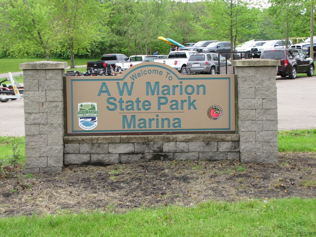
A W Marion State Park
This small but unique park offers a variety of recreational activities while maintaining a quiet atmosphere of natural serenity.
Location:
7317 Warner Huffer Road , Circleville
7317 Warner Huffer Road , Circleville
Phone:
740-869-3124
740-869-3124
Ash Cave
In the southernmost reaches of Hocking Hills is Ash Cave - beyond doubt the most spectacular feature of the entire park. Ash Cave is the largest, most impressive recess cave in the state. Hiking Trails: Rim Trail - 2 miles, Gorge Trail - 1/4 miles Wheelchair Accessible: Yes Pets Allowed: Yes Waterfalls: Yes Shelter House: 3 Picnic Tables: 20 Restrooms: Yes Swimming: No Fishing: No
Location:
State Route 56, South Bloomingville
State Route 56, South Bloomingville
Phone:
740-385-6842
740-385-6842
Blue Rock State Park
Camping. Cabins. Unique Getaways. Archery. Bring your Pet. Boating. Fishing. History. Hunting. Picnicking. Shelter. Playground. Swimming. Hiking Trails. Bridle Trails. Weddings. Winter Recreation. Certified Clean Marina. Fire rings are provided. Volleyball and Basketball Courts. Camp Store. Rugged hills and rich green forests provide the backdrop to Blue rock State Park. Escape to natures solitude and enjoy the diverse flora and fauna of this scenic 322 acre state park. Surrounding the park is the 4,573 acre Blue Rock State Forest and the Muskingum River is nearby.
Location:
7924 Cutler Lake Road, Blue Rock
7924 Cutler Lake Road, Blue Rock
Phone:
740-674-4794
740-674-4794
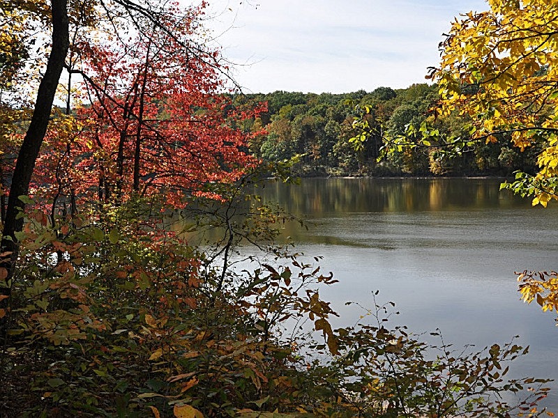
Burr Oak State Park
As one of Ohios resort parks, Burr Oak offers a wide array of overnight accommodations with its lodge, cottages and campground. Burr Oak blends modern conveniences with the wilderness spirit of Ohio.
Location:
Rt. 2, Box 159, Glouster
Rt. 2, Box 159, Glouster
Phone:
740-767-3797
740-767-3797
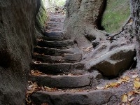
Cantwell Cliffs
Cantwell Cliffs is located in the northern reaches of Hocking Hills - 17 miles from Old Mans Cave on S.R. 374. Its remote location discourages visitation, but those who travel the extra distance will not be disappointed. Hiking Trails: Rim Trail - 2 miles, Gorge Trail - 1/4 miles Wheelchair Accessible: No Pets Allowed: Yes Waterfalls: No Shelter House: 1 Picnic Tables: No Restrooms: Yes Swimming: No Fishing: No
Location:
State Route 374, Logan
State Route 374, Logan
Phone:
740.385.6842, 866.644.6727
740.385.6842, 866.644.6727
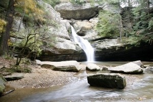
Cedar Falls
Cedar Falls itself is the greatest waterfall in terms of volume in the Hocking Hills Region. During late Winter thru early Summer months Queer Creek tumbles over the face of the Blackhand sandstone displaying the awesome force of water power. Hiking Trails: Rim Trail - 3/4 miles, Gorge Trail - 1/2 miles Wheelchair Accessible: No Pets Allowed: Yes Waterfalls: Yes Shelter House: No Picnic Tables: 10 Restrooms: Yes Swimming: No Fishing: No
Location:
State Route 374, South Bloomingville
State Route 374, South Bloomingville
Phone:
740-385-6842
740-385-6842
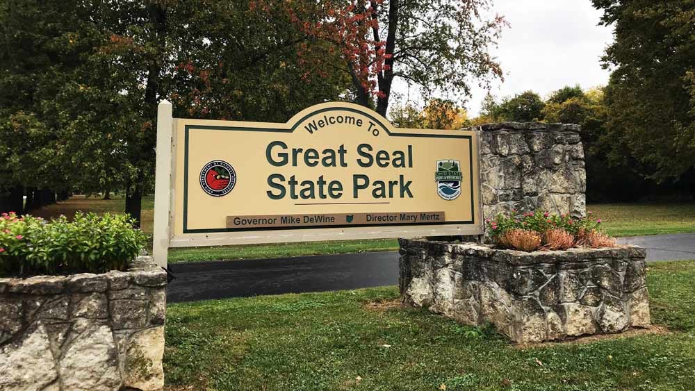
Great Seal State Park
Great Seal State Park is dedicated to the wilderness spirit of Ohio. The history of the Shawnee nation and Ohios early statehood is centered in these rugged hills. These very hills are depicted on the Great Seal of the State of Ohio.
Location:
4908 Marietta Road, Chillicothe
4908 Marietta Road, Chillicothe
Phone:
740-887-4818
740-887-4818
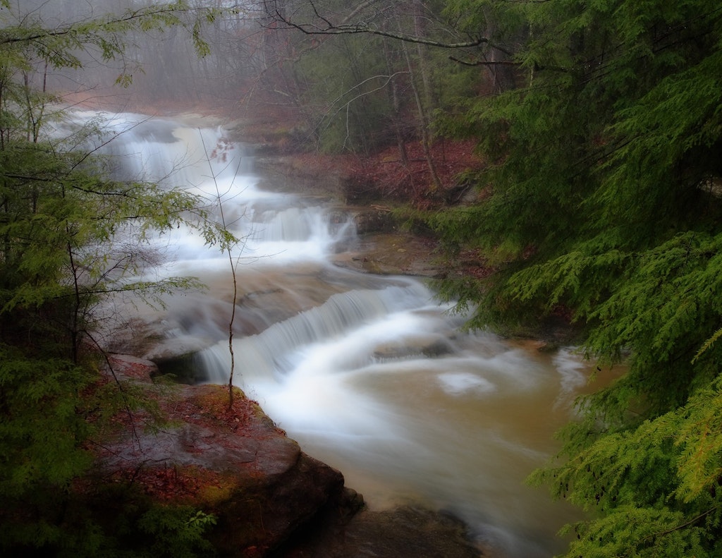
Hocking Hills State Park at Old Mans Cave
Hocking Hills provides a variety of recreational opportunities in a splendid natural setting. The 2356-acre park has towering cliffs, waterfalls and deep hemlock-shaded gorges to lure the hiker and naturalist and serve as a backdrop to popular facilities and accommodations.
Location:
19852 State Route 664 South, Logan
19852 State Route 664 South, Logan
Phone:
740-385-6842, 866-644-6727
740-385-6842, 866-644-6727
Lake Alma State Park
Lake Alma State Park features a serene lake and creek, a forested park with campsites, three hiking trails and fishing. In the midst of some of Ohios most rugged, scenic territory lies Lake Alma State Park. A quiet lake and a gentle creek meandering through a wooded valley providing a restful setting for park visitors.
Location:
422 Lake Alma Road, Wellston
422 Lake Alma Road, Wellston
Phone:
740-384-4474, 866-644-6727
740-384-4474, 866-644-6727
Lake Hope State Park
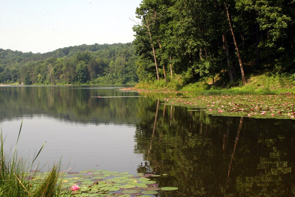
Lake Hope State Park is truly a nature lovers dream. In the forest-draped hills, the observant visitor can discover the abundant natural resources of this wild and scenic park. A natural paradise, 2983-acre Lake Hope State Park lies entirely within the 26,824-acre Zaleski State Forest in the Big Sandy run. It is a rugged, heavily forested region traversed by steep gorges and narrow ridges.
Location:
27331 State Route 278, McArthur
27331 State Route 278, McArthur
Phone:
740-596-3030
740-596-3030
Lake Logan State Park
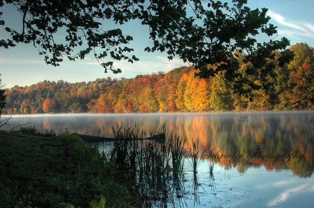
One of the best fishing lakes in Ohio awaits sportsmen in Hocking County at Lake Logan State Park. The lake sports northern pike, bass, bluegill, crappie, catfish and saugeye. Lake Logan is a day-use park that provides scenic picnic areas. Hiking Trails: 3/4 miles Wheelchair Accessible: No Pets Allowed: Yes Waterfalls: No Shelter House: No Picnic Tables: 10 Restrooms: Yes Swimming: YesFishing: YesBoat Rentals: Yes
Location:
State Route 278 South, Logan
State Route 278 South, Logan
Phone:
740-385-6842
740-385-6842
Old Mans Cave
The most popular of all the Hocking areas is Old Mans Cave, located on State Route 664. Here at the Upper Falls, the Grandma Gatewood Trail begins its six-mile course connecting three of the parks areas. Hiking Trails: Rim Trail - 2 miles, Gorge Trail - 3/4 miles Wheelchair Accessible: No Pets Allowed: Yes Waterfalls: Yes Shelter House: 2 Picnic Tables: 40 Restrooms: Yes Swimming: No Fishing: No
Location:
20160 State Route 664 South, Logan
20160 State Route 664 South, Logan
Phone:
740-385-6841
740-385-6841
Rock House
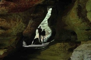
Rock House is unique in the Hocking Hills region, as it is the only true cave in the park. It is a tunnel-like corridor situated midway up a 150-foot cliff of Blackhand sandstone. Hiking Trails: Gorge Trail - 1/4 miles Wheelchair Accessible: No Pets Allowed: Yes Waterfalls: No Shelter House: 2 Picnic Tables: 20 Restrooms: Yes Swimming: No Fishing: No
Location:
State Route 374, Logan
State Route 374, Logan
Phone:
740-385-6842
740-385-6842
Shawnee State Park
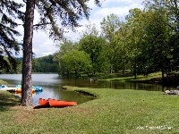
Located in the Appalachian foothills near the banks of the Ohio River, Shawnee State Park is nestled in the 60,000-acre Shawnee State Forest. Once the hunting grounds of the Shawnee Indians, the region is one of the most picturesque in the state, featuring erosion-carved valleys and wooded hills. The rugged beauty of the area has earned it the nickname The Little Smokies.
Location:
4404 State Route 125, Portsmouth
4404 State Route 125, Portsmouth
Phone:
740-858-6652
740-858-6652
Stroud Run State Park
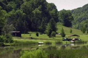
A 900-foot sand beach on the east side of the lake is open during the summer months from sunrise to sunset. Change booths, drinking water and restrooms are available. Scuba diving with proper equipment is permitted.
Location:
11661 State Park Rd, Athens
11661 State Park Rd, Athens
Tar Hollow State Park
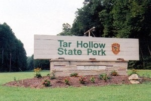
Tar Hollow is Ohios third largest state forest, containing 16,354 acres in Ross, Vinton and Hocking Counties, 22 miles of hiking trails, 33 miles of bridle trails, 46 horsecamp sites, grouse management area. Buckeye trail and Logan Trail pass through the forest. Seventeen miles of paved forest roads and 14 miles of gravel forest roads provide a great opportunity for a scenic drive and allow good access to all areas of the forest. Hiking Trails: Yes Pets Allowed: Yes Waterfalls: No Shelter House: 8 Picnic Tables: 40, 4 picnic areasRestrooms: Yes Boating: YesHunting: YesPicnicking:Yes Swimming: Yes Fishing: YesBoat Rentals: YesMountain Biking: YesCamping: YesPlayground and Basketball court. General Store. Miniature golf course, game room with ping pong, air hockey and fooseball.
Location:
16396 Tar Hollow Rd, Laurelville
16396 Tar Hollow Rd, Laurelville
Phone:
740-663-2538
740-663-2538
Nature Preserve
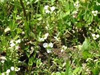
Bartley Preserve
Location:
1711 Hitler Road 1, Circleville
1711 Hitler Road 1, Circleville
Phone:
334-399-2345
334-399-2345
Blackhand Gorge State Nature Preserve
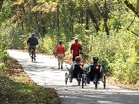
The prime feature of this preserve is a narrow, east-west gorge cut by the Licking River through the famous Black Hand sandstone formation. It also boasts the only bike trail in Ohios state nature preserve system more than 4 miles of bike trail wind through the preserve.The preserve is rich in natural as well as early Ohio history.The name Blackhand, for which the preserve is named, originated from a dark, hand-shaped Indian petroglyph which was engraved on the face of a massive sandstone cliff along the north side of the river. The engraving was destroyed in 1828 when canal builders dynamited the cliff face, during construction of the Ohio-Erie Canal, which runs through the gorge. Sections of the canal towpaths and canal locks may be seen from the trails along the river.The dry hilltops are dominated by oak-hickory mature woods along with Virginia pine and mountain laurel. Yellow birch, cherry birch and eastern hemlock grow on northerly exposures. It is an excellent site for viewing woodland spring wildflowers.
Location:
2200 Gratiot Road SE, Newark
2200 Gratiot Road SE, Newark
Phone:
614-265-6561
614-265-6561
Boch Hollow State Nature Preserve
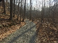
Special Features - Woods. Wetlands. Spring Wildflowers. Geologic Features. Summer Wildflowers. Bird Watching. Wide diversity of habitats. Federally Endangered Running Buffalo Clover. Facilities - 7 miles of trails. Access to off-trail areas of Boch Hollow State Nature Preserve, including Robinson Falls, requires a written permit. Additional trails planned. Small pond and gazebo near trailhead. Meeting room and educational programming facility. Parking lot. Trailhead - 7000 Beach Camp Road, Logan, OH 607 acres in Hocking County. Located in northern Hocking County at the edge of the Hocking Hills Region, Boch Hollow provides an excellent opportunity to see a wide diversity of habitats ranging from riparian corridors, mature wooded hills, ridges, and old field remnants. The most notable botanical feature at Boch Hollow is the extensive population of the Federally Endangered Running Buffalo Clover the largest such population in Ohio.Unique among Ohios preserves is the mission of Boch Hollow to serve as an educational site for hands-on environmental education of Appalachian Ohio ecology. Primarily geared toward local school children, the staff also provides programs to the general public as well as various civic and environmental organizations.
Location:
7211 Bremen Road, Logan
7211 Bremen Road, Logan
Phone:
740-380-8918
740-380-8918
Conkles Hollow Nature Preserve
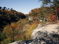
Special Features - Geologic Features. Bird Watching. Spring Wildflowers and Fern Communities. Woods. Spectacular sandstone gorge with excellent vistas. Facilities - Wheelchair accessible. Flush Restrooms. Parking lot. 3.5 mile trail system. the Lower Gorge Trail is a 1-mile disabled accessible trail. Drinking water is not available. No Pets. 87 acres in Hocking County. Conkles Hollow, situated off S.R. 374 on Big Pine Road is a rugged, rocky gorge - considered one of the deepest in Ohio. The valley floor is a veritable wilderness covered by a profusion of ferns and wildflowers. The deep, cool gorge, which is only 100 feet wide in places and is considered by some to be the deepest in Ohio, has numerous waterfalls cascading over its sandstone cliffs. The Lower Gorge trail was recently redesigned to accommodate visitors of all abilities. The cliff tops with their magnificent overlooks and the quiet gorge beneath offer visitors an opportunity to explore different habitats, each with its own unique plant and animal communities. Hiking Trails: Rim Trail - 4 miles, Gorge Trail - 1/2 miles Wheelchair Accessible: Yes Pets Allowed: No Waterfalls: Yes Picnic Tables: 5 Restrooms: Yes
Location:
24858 Big Pine Road, Rockbridge
24858 Big Pine Road, Rockbridge
Phone:
740-385-6842
740-385-6842
Earl H. Barnharts Buzzards Roost Nature Preserve
The Earl H. Barnhart Buzzards Roost Nature Preserve encompasses approximately 1300 acres of some of the most rugged and beautiful country in this area. The rollinguplands are deeply cut by precipitous wooded ravines that are wild and picturesque. From the top of the cliffs bordering Paint Creek, There is a magnificent panorama of ranges of rolling hills, while below is the deep gorge of the stream, flanked by vertical cliffs of sandstone and shale. From the highest elevation to the lowest it is 600 feet, a condition found in few places in Ohio. The preserve is located at the southern limitof glaciations in this region. It is part of some of the oldest continuously eroded landscape on earth. There is a rich diversity of plant and wildlife here for the careful observer. The area is rich in history yet to be discovered. There are several decaying home sites where only the stone foundations can be found, and maybe an old well or two. There is also a long forgotten cemetery dating back to the late 1800s. There are numerous former logging roads that crisscross the area for easy walking.Buzzards Roost is devoted to the study of the natural history of the area and appreciation of its scenic beauty.
Location:
514 Red Bird Lane, Chillicothe
514 Red Bird Lane, Chillicothe
Phone:
740-775-2247
740-775-2247
Kleinmaier State Nature Preserve
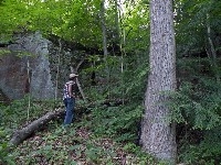
Although small in size at 32 acres, this designated state nature preserve consists of a small valley ringed by spectacular outcrops of Black Hand Sandstone. Donated by the heirs of Bertram and Josephine Kleinmaier, this treasured natural area is a component of the nearby Rhododendron Hollow State Nature Preserve. Both of these wooded parcels harbor healthy populations of the state threatened Great Rhododendron and associated plants such as Partridge Berry, Wintergreen, Pink Moccasin Flower, Indian Pipe, and Walking Fern. In a wet spring, seep the locally rare Swamp Saxifrage grows in association with a dense forest of Skunk Cabbage. Access to this site is by permit only.
Location:
Pump Station Road, Sugar Grove
Pump Station Road, Sugar Grove
Phone:
334-399-2345
334-399-2345
Rhododendron Cove State Nature Preserve
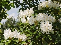
Special Features - Woods. Spring Wildflowers. Summer Wildflowers. Geologic Features. Bird Watching. State listed flame azalea. Likely largest native population of great rhododendron in Ohio. Facilities - Parking lot. 1.2 mile trail, remain on marked trail at all times. The preserve provides a rather strenuous hike to the top of the dry ridge line with a view of the Hocking River Valley to the east. This dry ridge forms a horseshoe shape, supporting a significant chestnut oak community with Virginia and pitch pine, sourwood and a well-developed heath layer of mountain laurel, blueberry, deer berry, and state listed flame azalea. The cooler north facing slopes below the cliff lines form an environment better suited to eastern hemlock, black birch and another state listed member of the heath family - the great rhododendron. This is likely the home of the largest native population of this native rhododendron in Ohio. Peak blooming is typically during late June and early July.
Location:
2730 Pump Station Road SE, Lancaster
2730 Pump Station Road SE, Lancaster
Phone:
740-380-8919
740-380-8919
Riddle State Nature Preserve Hawk Woods
Special Features - Woods. Spring Wildflowers. Bird Watching. Geological Features. Old growth forest remnant. Facilities - none. The preserve is adjacent to Strouds Run State Park that offers many facilities. 106 acre preserve lies outside the city of Athens, locally known as Hawk Woods. The trees include massive tulip poplar and oaks, some as large as 30 inches in diameter. An oak-hickory forest is present on the upper slopes of the younger, southern section of the preserve. The wooded preserve runs up a ridge and faces north/northwest. A small intermittent stream is present and the area is home to ferns, fungus and in the spring, a variety of wildflowers including showy orchids, jack-in-the-pulpit and trilliums. Excellent birding with the worm-eating warbler and Louisiana water thrush and good population of ovenbirds, wood thrushes, red-eyed vireos, Acadian flycatchers and eastern wood pewees.
Location:
Sells Park - Avon Place, Athens
Sells Park - Avon Place, Athens
Phone:
740-380-8919
740-380-8919
Rockbridge Nature Preserve
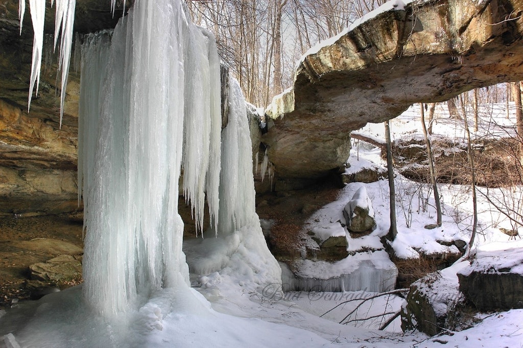
Special Features - Woods. Excellent Spring Wildflowers. Geologic features. Bird Watching. Ohios largest natural rock bridge. Facilities - Parking area. 2.75 mile trail system. 202 acres in Hocking County. Rockbridges natural arch or bridge is more than 100 feet long and 10 to 20 feet wide, and gracefully arches 50 feet across a ravine. It is considered the largest natural bridge in Ohio. Hiking Trails: 3 miles, Waterfalls: Yes.
Location:
11475 Dalton Rd, Rockbridge
11475 Dalton Rd, Rockbridge
Phone:
740-380-8919
740-380-8919
Shallenberger State Nature Preserve
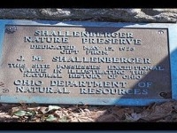
Special Features - Woods. Excellent Spring Wildflowers. Geological Features. Bird Watching. Allen Knob. Facilities - Parking lot and trail system. Jay Shallenberger, the areas original owner, wanted to see it both preserved and open for the enjoyment and education of Ohioans. His wishes were carried out by the Fairfield County Commissioners who received the land after his death. Early in 1973, the commissioners transferred the property to the Ohio Department of Natural Resources as a scenic state nature preserve and it is managed by the Division of Natural Areas and Preserves. More than 300 million years ago this portion of Ohio lay under the waters of a vast inland ocean. Large sand deltas were deposited by streams flowing into the ancient seas. Over millions of years, compaction of these sand deltas fused the sand into rock, creating the Black Hand sandstone formation found in Ohio today. The oceans have long since disappeared and the subsequent weathering of this massive sandstone formation by water, wind and temperature extremes has created striking gorges, overhangs, rock shelters, promontories and waterfalls, best known in the Hocking Hills region. At Shallenberger, the long process of weathering produced Allen Knob, a promontory of highly resistant sandstone, and the smaller adjacent Ruble Knob. Allen Knob towers 240 feet above the surrounding countryside and provides an impressive vista of the central Ohio lowland plains to the west. While this major feature of the preserve owes its origin to an ancient marine environment, the preserve also shows the effects of the last major glacial period. More than 10,000 years ago great sheets of ice, in some places more than 1 mile thick, covered portions of Ohio. Shallenberger lies at their southeastern limit. The tops of Allen and Ruble knobs apparently remained free of ice. However, their bases were buried under an end moraine, an accumulation of rock, gravel and sand debris which was frozen in glacial ice and deposited at the melting front of the ice sheet. In a more subtle way, the plant communities at Shallenberger also reflect the influence of glaciation. The unglaciated tops and steep sides of Allen and Ruble knobs have thin, rocky soils low in moisture and nutrients. Chestnut oak and mountain laurel, a flowering shrub more commonly found in the Appalachian mountains, are abundant on the knobs. However, few other woody species have gained a foothold. The knobs also provide habitat for a number of ferns, including polypody, ebony spleenwort and walking fern.
Location:
2470 Becks Knob Road, Lancaster
2470 Becks Knob Road, Lancaster
Phone:
740-380-8919
740-380-8919
Wahkeena Nature Preserve
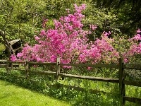
Special Features - Woods. Wetlands. Spring Wildflowers. Summer Wildflowers. Geologic Features. Bird Watching. About 30 fern species. Eight native orchids may be found, including pink ladys slipper and showy orchids. Facilies - Restrooms. Drinking water. Parking lot. Visitors Center. Trails. Wahkeena Nature Preserve is administered by the Ohio History connection and managed locally by the Fairfield County Historical Parks. Hours - April through October - Wed-Sun 8am-4:30pm. November through March - Closed. 68 acres in Fairfield County. The site hosts an abundance of plants and animals typical of unglaciated Allegheny Plateau. Black Hand sandstone cliffs are forested primarily with tulip trees and oak. Rhododendron, mountain laurel, ferns and orchids are among the preserves showiest plant species. Wahkeena serves as an outdoor education area for nature study groups, school groups, garden clubs and visiting natural resource professionals.
Location:
2200 Pump Station Road, Sugar Grove
2200 Pump Station Road, Sugar Grove
Phone:
740-681-7249
740-681-7249
National
Hopewell Culture National Historical Park
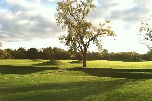
Visible remnants of Hopewell culture are concentrated in the Scioto River valley near the present-day city of Chillicothe, Ohio. The most striking Hopewell sites contain earthworks in the form of circles, squares, and other geometric shapes. Many of these sites were built to a monumental scale, with earthen walls up to 12 feet high outlining geometric figures more than 1,000 feet across. Conical and loaf-shaped earthen mounds up to 30 feet high are often found in association with the geometric earthworks. Hopewell Culture National Historical Park preserves six earthwork complexes. All photos credited to NPS / Hopewell Culture NHP
Location:
16062 State Route 104, Chillicothe
16062 State Route 104, Chillicothe
Phone:
740-774-1126
740-774-1126
Wayne National Forest
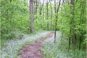
This national forest, in the heart of the heavily populated Midwest, covers almost a quarter million acres of Appalachian foothills. Visitors to national forest lands are welcome to camp, hike, hunt and fish. The Forest boundaries surround a checkerboard pattern of ownership, with public and private ownership interspersed. There are over 300 miles of trails on the Forest for hiking, all-terrain vehicle ATV riding, mountain biking, or horseback riding.Trails are open from April 15th through December 15th.
Location:
13700 U.S. Highway 33, Nelsonville
13700 U.S. Highway 33, Nelsonville
Phone:
740-753-0101
740-753-0101
Metro
